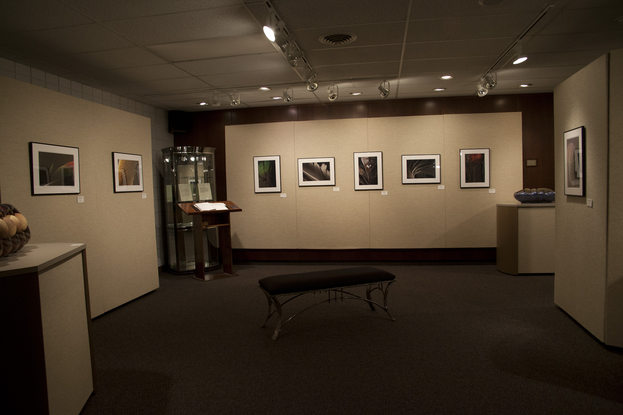
My exhibition, “Ethereal Plumage” ended last week at the Jasper Arts Center in Jasper, Indiana. The storms of early April were so bad that I felt sure nobody would show up for the opening reception, but they did. Even better is that they said nice things about the work. Though I’ve had several feather images exhibited individually around the US, this was the first time I had this many (25) feather photographs together in one place. It was really interesting to see how the quantity transformed the vision. You’ll hear plenty about my feather photographs in the coming weeks as I continue to work on them.
A New Game
While I was in Indiana, I had an idea for a new game for photographers. It’s fairly straightforward. Pick a town, any town, and put that into your GPS navigation system. Just follow those directions and the game is won. Sounds ridiculously simple, doesn’t it? Well, it’s based on the idea that your GPS will take you down roads you ordinarily wouldn’t take–because some of them don’t look anything like roads– but will still get you to your destination. It’ll take you through places you wouldn’t have considered if you’d been looking at a paper map. Technology has changed the way we drive. If you’re a photographer (or a leaf peeper in Autumn) this could be your best weapon. You’ll see views normal travelers won’t get a chance at. The only thing is this: don’t use the ‘maps’ function on your cell phone. If you’re lucky, you’ll be taken through areas where you’ll get no reception for the phone, and satellites are the only thing you can get. I know this to be true, though I never decided if the storms had taken out the cell towers or if I was just in a dead zone for my carrier.
I thought of this game during a time when it wasn’t much of a game. I arrived in Jasper on a Wednesday night after dark, which came early due to some oncoming storms. After supper and chatting a bit with the desk clerk at my hotel, I settled in. Shortly before turning in, an alarm went off on my cell phone telling me of a flood warning that had just been issued. I thought that would be the end of it. Besides, my hotel was on a hillside. Several more times during the night the alarm sounded again. I discovered over the following two days that there had been some significant flooding in the area, closing some of the roads. The folks at the Art Center were incredibly nice and helpful and, understanding I am a foreigner, had suggested to me some local attractions. So I set off.
At first all things were fine. Then there was a cop detouring traffic because of the flooded road. I just stayed behind some cars with local license plates and hoped for the best. We took a road that had some water on it, but it wasn’t so deep that I felt threatened. However, when I attempted to come back the same road, the water was deeper. I DID feel threatened this time, so I turned around. Thus began my GPS adventure. The GPS performed flawlessly at finding roads that were impassable. I would get to the flood zone, turn around and go back the way I ventured, then ask the wisdom of the GPS again. Finally, I just picked a town that I knew was north of where I was and had it get me up that way, figuring the flood zone couldn’t extend all the way up north. A new visionary method was born. Maybe somebody could invent a GPS with a new ‘scenic route’ function, i.e. random algorithm.